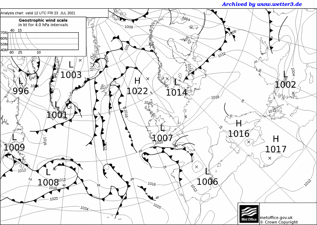
Friday July 23rd 2021 - number of obs: 1440 (100%)
|
Met Office 12Z Analysis Chart |
||||||||||||||||||||||||||||||||||||||||||||
 |
Daily Diary Last day of the heatwave, with slowly increasing amounts of Ci, Cs and Ac (occasionally Ac Cast) spreading up from the south, associated with an upper vortex and slack surface depression slowly coming northwards. Winds initially light but a steady E'ly developed during the day. This weakened into the early evening, but then suddenly ramped up again into the evening (possible low-level jet?), before once again dying and then re-strengthening overnight. Dry during the day bar the odd spot from high Ac, but rain arrived overnight, and lightning observed to the S/SE. RoostCam South Timelapse | RoostCam North Timelapse |