Tuesday September 28th 2021 - number of obs: 1234 (85.7%)
|
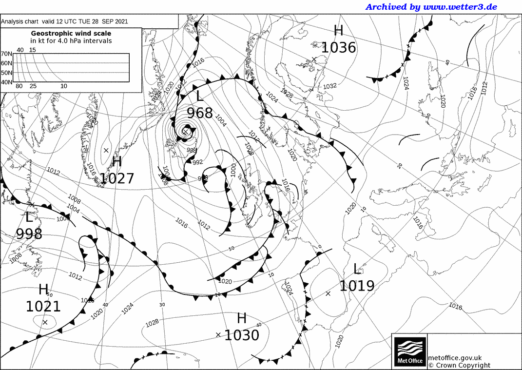
Met Office 12Z Analysis Chart |
||||||||||||||||||||||||||||||||||||||||||||
 |
Daily Diary A bright start with areas of high and medium cloud soon turned dull and overcast, as rain arrived from the west. This associated with a slow moving and active cold front, which brought the wettest day on record here (back to 1st Jan 2020) but possibly not quite the wettest 24 hour period (May 12th and 13th 2021). The front, and associated line convection eventually cleared through mid-late afternoon (surface front just after 17Z), with a clearance just in time for dusk leading into a clear evening. Some showers followed on behind overnight. A breezy S becoming W wind, with temperatures well below average for late September. RoostCam South Timelapse | RoostCam North Timelapse |